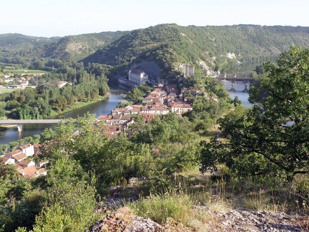
Luzech
The historic village is located on an isthmus or peninsular formed by the Lot, 90m wide, bordered to the north by the hill of the Impernal (150m above sea level), to the south by that of the Pistoule (70m altitude) that the river bypasses in a loop, called a cingle.
The central square now occupies the site of the former canal cut, created for navigation in 1840 , but filled in between 1940 and 1950 . The canal shortened the navigation by about 5 km .
Luzech is currently impassable to navigation, but there are several proposals to re-open the link across the neck of the river’s loop.
Supporters
canalet-lot.net
Copyright © 2021-2025 canalet-lot.net. All Rights Reserved.


